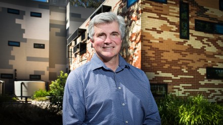
Dr Nicolas Younes

PhD
Postdoctoral researcher - Remote Sensing scientist
College of Science

Nicolas Younes is an engineer, a geospatial and remote sensing scientist, and an entrepreneur, who's passionate about Earth Observation, knowledge transfer, education, and about understanding spatial and temporal changes in Australian forests. Nicolas works in local, continental, and global-scale projects that seek to further our understanding of the vegetation phenology and flammability through the use of remote sensing technologies.

Currently, Nicolas is deeply involved in the development of the OzFuel satellite mission, the first satellite the world's first satellite created specifically to monitor the flammability of eucalypt forests. Through the OzFuel project, he's helping advance Australia's space industry. His work ranges from using hyperspectral sensors, to data analysis, machine learning, and biochemical analysis of flammable components in eucalypt trees.

Nicolas holds an Environmental Engineering degree, a Master's degree in Oil and Gas Exploration and Production, a Master's degree in Natural Resource Management, and a PhD in Earth and Environmental Sciences.

Areas of current research:

  • Vegetation phenology
  • GAMs
  • Oil Palm monitoring
  • Forest loss in Upper Guinea Forest
  • Intertiral ecosystems
  • environmental economics

Research interests

Areas of expertise

  • Natural Hazards
  • Surface Processes
  • Environmental Monitoring
  • Photogrammetry And Remote Sensing
  • Geospatial Information Systems
  • Griebel, A, Boer, M, Blackman, C et al. 2023, 'Specific leaf area and vapour pressure deficit control live fuel moisture content', Functional Ecology, vol. 37, no. 3, pp. 719-731.
  • Neira, F, Ribadeneira, S, Erazo-Mera, E et al. 2022, 'Adaptive co-management of biodiversity in rural socio-ecological systems of Ecuador and Latin America', Heliyon, vol. 8, no. 12, p. 7.
  • Nolan, R, Foster , B, Gabriel, A et al. 2022, 'Drought-related leaf functional traits control spatial and temporal dynamics of live fuel moisture content', Agricultural and Forest Meteorology, vol. 319.
  • Bennett, M, Younes Cardenas, N & Joyce, K 2020, 'Automating Drone Image Processing to Map Coral Reef Substrates Using Google Earth Engine', Drones, vol. 4, no. 3.
  • Younes Cardenas, N, Joyce, K, Northfield, T et al. 2019, 'The effects of tidal height on estimating Fractional Vegetation Cover in mangrove forests', International Journal of Applied Earth Observation and Geoinformation, vol. 83, p. 18.
  • Pardo, L, de Oliveira Roque, F, Campbell, M et al. 2018, 'Identifying critical limits in oil palm cover for the conservation of terrestrial mammals in Colombia', Biological Conservation, vol. 227, pp. 65-73.
  • Younes Cardenas, N, Joyce, K & Maier, S 2017, 'Monitoring mangrove forests: Are we taking full advantage of technology?', International Journal of Applied Earth Observation and Geoinformation, vol. 63, pp. 1-14.
  • Younes Cardenas, N & Erazo-Mera, E 2016, 'Landslide susceptibility analysis using remote sensing and GIS in the western Ecuadorian Andes', Natural Hazards, vol. 81, pp. 1829-1859.

Updated:  25 June 2024/Responsible Officer:  College of Science/Page Contact:  https://iceds.anu.edu.au/contact