

You are here
A few clicks to help track fire recovery
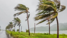
Any smartphone-wielding Australian can become eyes on the ground for researchers piecing together how bushfire-razed regions are faring, a year on from deadly blazes.
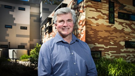
The Bush Recovery app is set to be launched in January as part of a joint project between five scientists from the Australian National University and Griffith University.
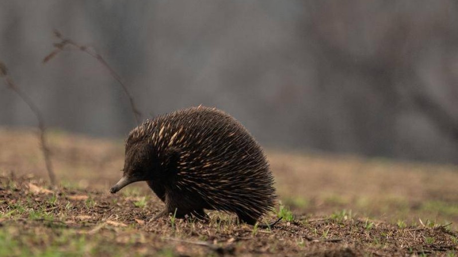
It allows people to upload photos from nature along with a description of what they can see - how big the trees are and if there's anything growing on the ground, on trunks or even on the canopy.
Project lead Brendan Mackey says the app does not just help with field data but is a way for Australians to have a positive experience in nature after the confronting scenes and trauma of bushfire.
"They're worried that the forest is dead," Professor Mackey told AAP.
"We're asking them to look for where the forest is alive. Record the information, take some photographs. If you see any wildlife take some photographs and we can identify that.
"Let's look at how nature is bouncing back."