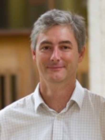
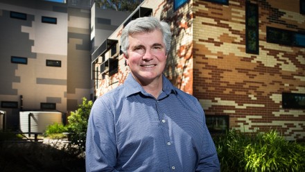
Dr Paul Tregoning

Contacts
Paul Tregoning uses space geodetic techniques to study changes on the Earth, including:
- sea level rise (using satellite altimetry and tide gauges),
- earthquake deformation, plate tectonic motion and pre-earthquake strain (using GPS),
- atmospheric water vapour estimates (using GPS),
- changes in water resources of the Australian continent (using GRACE, the NASA/DLR space gravity mission) and
- mass balance change of polar regions (using GRACE).
He heads the Geodynamics and Geodesy Group at the Research School of Earth Sciences, has received funding from the Australian Research Council, the Australian Space Research Program and the Department of Climate Change and Energy Efficiency to conduct research into variations in sea level around the Australian region, terrestrial water resources and changes in ice volumes in Antarctica.
Groups
- Researcher, Earth systems


